Tag Archives: Floating Holidays

Monday 14 April – Heading Home

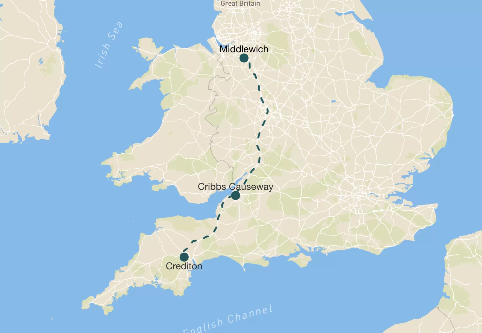
Distance travelled: 219 miles ((Audlem Top Lock Visitor Moorings to Middlewich Wharf (5 miles by boat) and then Middlewich to Croydon, via Hockley Heath (214 miles by car))

A map showing a route from the town of Market Harborough to the town of Kettering, marked with a blue line. Nearby landmarks, roads, and points of interest are labeled along the route, providing context for navigation between the two towns in England.
All our canal route planning came from CanalPlan
Map showing a route from Croydon to Middlewich, with key locations marked along the path, including Hockley Heath. The route is highlighted by a dashed line. The surrounding areas include various landmarks and parks.

Locks: 2. Total: 94

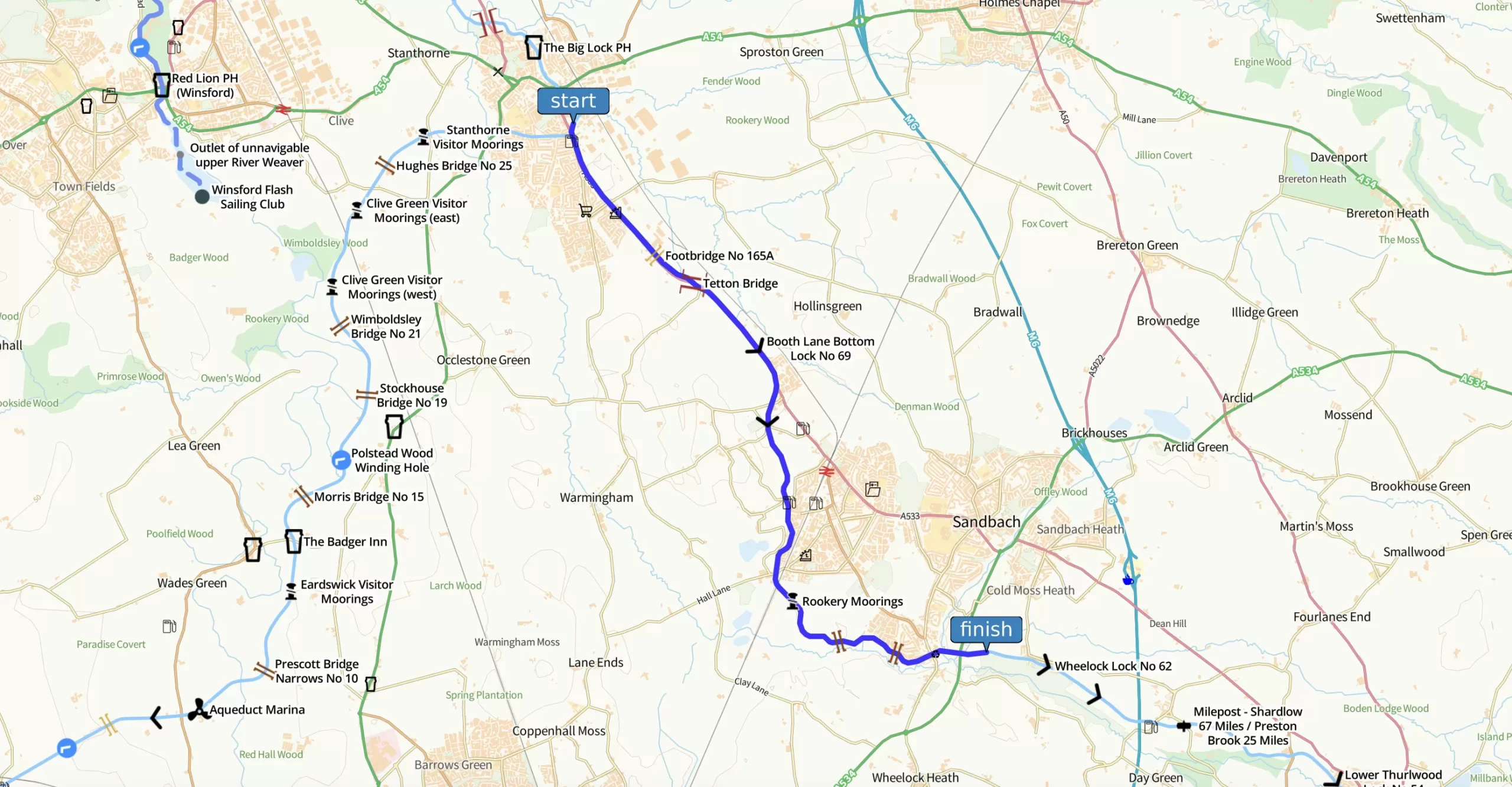
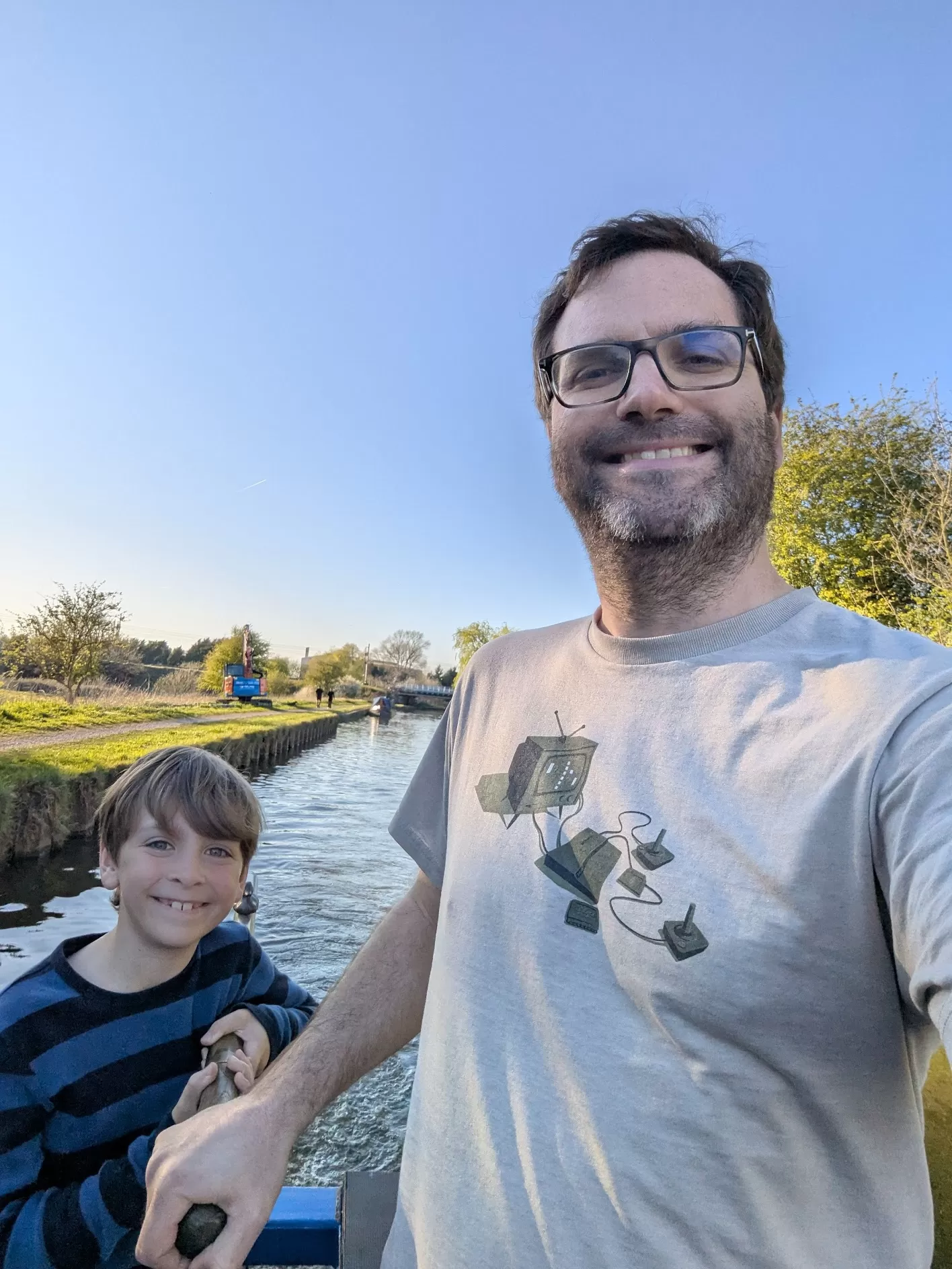
Today we had to give the boat back, which meant we had to pack everything up (mostly my Mum did that bit) and do a couple more locks on the way to the boatyard. It felt weird knowing it was our last morning on Rakiraki. I stood on the bow and waved at ducks. One of them ignored me.

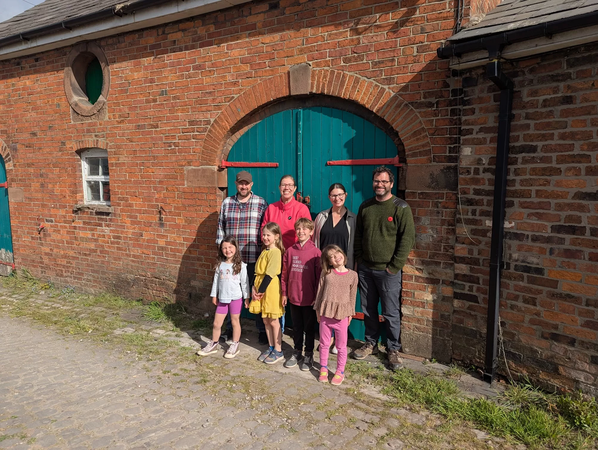
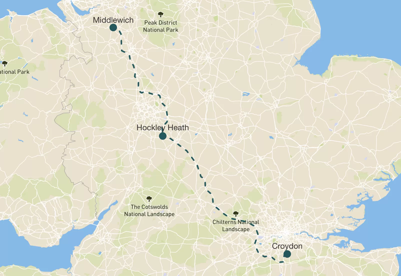
After we said goodbye to the Burtons and the boat, we got in the car and started heading home. But first we went to see my Granny in Hockley Heath. We picked up some tasty treats from Wedges Bakery to have at her house for lunch.

Then we did the long drive back to Croydon, and we go home just before 6.30pm. I was a bit sad it was over, but also glad to be back in my own bed.

It was definitely a brilliant holiday. Boats, locks, tunnels, tractors, surprise ice creams, sneaky card games, swans on nests, and only a handful of minor disasters. I’d do it all again. Though maybe not the stuck in a lock bit.

Monday 7 April – Starting the Canal Trip

Distance travelled: 223 miles (Crediton to Middlewich (216 miles by car) and then Middlewich Wharf to Railway Bridge 151A (7 miles by boat)).

Map showing a route in England, connecting the locations of Middlewich and Cheddar, with a dashed line indicating the path. The map includes geographical features and bodies of water.
A map showing a route highlighted in blue, connecting various locations with labels. The map includes surrounding roads, towns, and geographical features, providing context for navigation.
All our canal route planning came from CanalPlan

Daily Locks: 7. Total so far: 7

We left Nana’s and drove up to Cheshire. It took ages.

We met up with our friends the Burtons. They’re a family of 4 like us – a Mum (Shannon), a Dad (Dave) and two daughters (Anwen and Zoe) who are a similar age as me and my sister. We met them at Morrisons to a massive shop before we got on the boat. While my Dad did the shopping we ate lunch at a place called Streat.

Then we went to get our canal boat from Floating Holidays. It was called Rakiraki. The people from the boat place showed us how everything worked and fitted our life jackets. I just really wanted to get on board.

Inside the boat looked so cool – it had beds and sofas and a kitchen and even two bathrooms, though more on that later…

I had a go at “driving” the boat. Well, I held the tiller while my Dad drove. And then I mostly stayed inside and played.

A man and a boy are smiling while taking a selfie on a boat in a calm waterway. The background features greenery and a clear blue sky. The boy is wearing a striped shirt, and the man is in a t-shirt with a graphic design.

I was excited to take the Christmas present my parents got me – Cards Against Humanity (Family Edition). I played a lot of it with my sister Eleanor and Anwen and Zoe while the grown ups got us set up on the boat and moving forward. That game is so funny and a bit rude. It made us all laugh loads.

After we moored near a place called Wheelock we had sausages, mash and baked beans for our tea. Yummy. I was tired but really excited because we were on a boat! A real boat!